Public Launch of EOCube.ro Beta Version
We are pleased to announce the public launch of the beta version of the EOCube.ro portal. The ROCS consortium, coordinated by the West University of Timișoara, continues the active development of the platform by publishing new services and datasets.
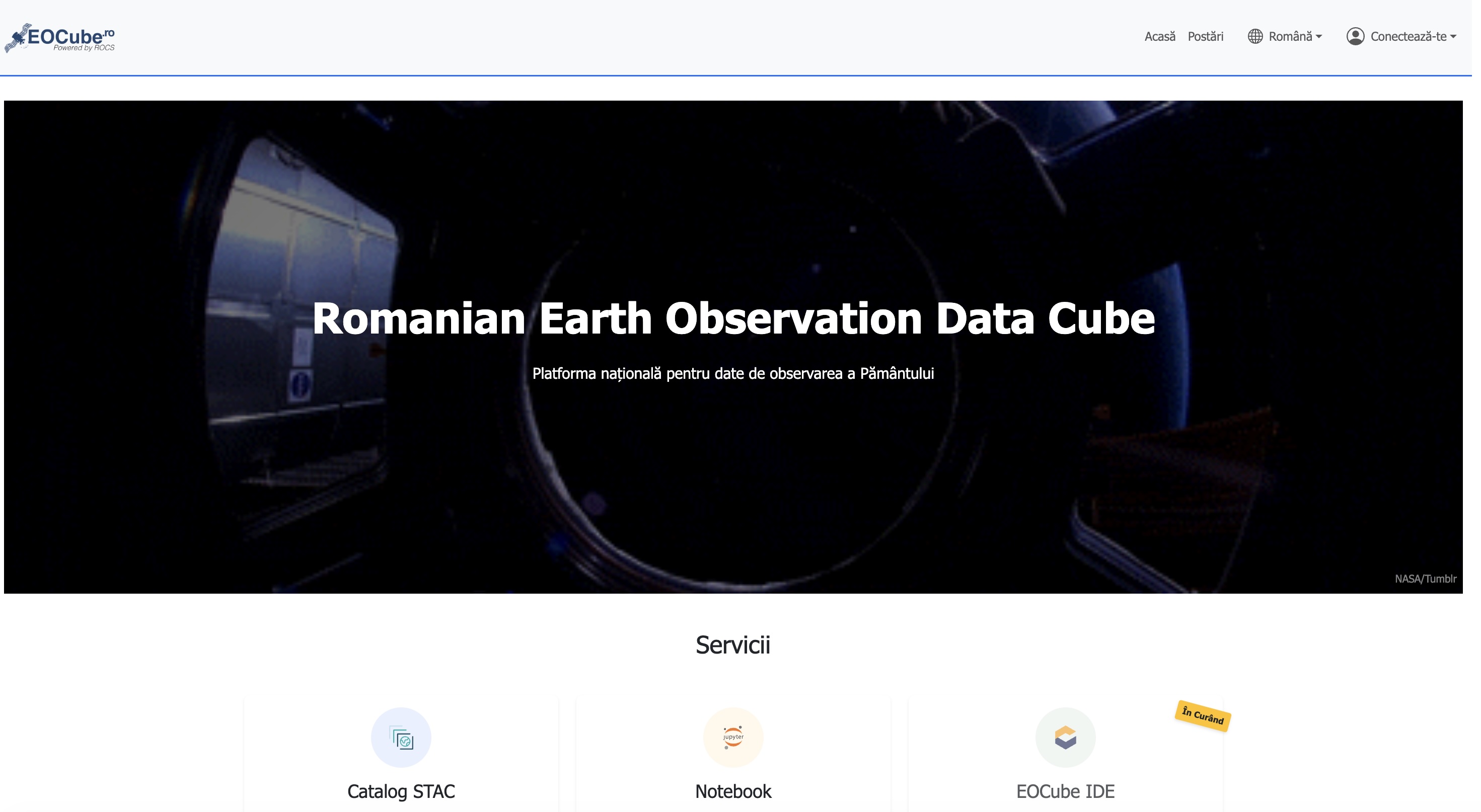
Portal
The EOCube.ro portal serves as the central access point to the ROCS/EOCube.RO platform. It provides an overview of available resources and facilitates direct user access to them.
Screenshot EOCube.ro
Services and Data Collections
Services
Currently, the platform provides interactive services for application development, visualization of spatio-temporal collections, and data download.
Users can create accounts, manage their workspaces, and download available datasets.
Data Collections
Regarding available data, the platform currently synchronizes a selected set of collections with the Copernicus Dataspace Ecosystem (CDSE):
-
Sentinel-1 SLC: Level-1 Single Look Complex (SLC) products are images in the satellite acquisition plane, in slant range and azimuth coordinates. Each pixel is represented by a complex value (I and Q), containing amplitude and phase information, with 16 bits per component. Processing generates a single look per dimension, using the full available signal bandwidth. Images are georeferenced based on satellite orbit and attitude data and are produced in zero Doppler geometry, following the standard convention for SAR products in slant range.
-
Sentinel-2 L1C: The Sentinel-2 Level-1C collection contains Level-1C products from the Sentinel-2 mission. The Sentinel-2 mission is a European Space Agency (ESA) program providing high-resolution optical imagery for land monitoring, agriculture, forestry, and disaster management. Level-1C products are processed to provide Top-of-Atmosphere (TOA) reflectance values.
-
Sentinel-2 L1C COGS: The same collection as Sentinel-2 L1C, available in Cloud Optimized GeoTIFF (COG) format, which enables fast and efficient access to georeferenced data.
- In addition to the product distributed through the Copernicus program, EOCube.RO includes a cloud mask generated with the FMask algorithm as an additional asset.
Synchronization with CDSE is performed in near real-time, with data updated within 10 minutes of receiving notifications, through the mechanism provided by ESA under the Collaborative Ground Segment program.
What’s Next
In the coming months, we will focus on:
- Publishing new datasets: By the end of 2025, the ESA WorldCover 2020 and 2021 collections will be published, along with relevant vector data (Overture Maps).
- Client applications: Consolidation and optimization of client applications.
- Federation operationalization: Integration of the infrastructure provided by the Politehnica University of Bucharest.
We invite you to follow the project’s progress for updates on new features and available datasets.